Welcome to New Mexico's Real-Time Water Measurement Information System!
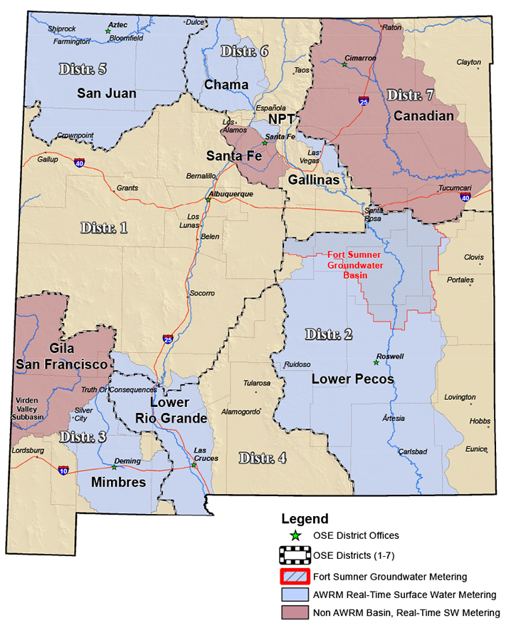
The New Mexico Office of the State Engineer/Interstate Stream Commission (OSE/ISC) engages in Active Water Resource Management (AWRM). This allows the State Engineer to actively manage the state's limited water resources while administering water rights and interstate compacts throughout the state. In order to do this, the OSE/ISC maintains a network of stream, acequia, ditch and well monitoring sites that electronically transmits data values via radio and satellite telemetry and stores the data in a database. This real-time water measurement data is available for each active gage/well shown on select basin maps. To find a specific gage/well click on the appropriate area on the state map. For further information, please see site Help. |
|