-- Provisional Data Subject To Revision --
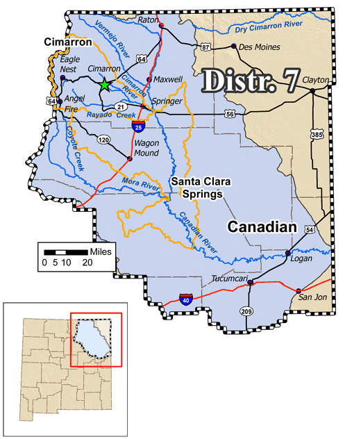
- Canadian River Basin
| Station Name |
Date & Time |
Discharge (cfs) |
Gage Height (ft) |
Avg Daily Flow (cfs) |
| Cieneguilla Creek |
07/23 08:00 |
0.73
|
0.06
|
NR
|
| Sixmile Creek |
07/23 08:00 |
0.0
|
-0.07
|
NR
|
| Moreno Creek |
07/22 17:00 |
0.0
|
-0.24
|
NR
|
| Philmont Canal |
07/29 20:13 |
0.0
|
NR
|
NR
|
| Philmont Webster |
07/30 06:32 |
2.12
|
0.37
|
2.12
|
| Philmont Cito |
07/28 16:45 |
0.01
|
0.03
|
NR
|
| Old Mill Ditch |
07/29 18:34 |
1.05
|
0.44
|
NR
|
| Jackson Ditch |
07/29 16:45 |
0.0
|
NR
|
NR
|
| WS French Lake |
07/30 06:59 |
4.37
|
0.54
|
4.25
|
| CSC-CS UU Bar Urraca |
07/28 16:45 |
0.0
|
0.0
|
NR
|
| CSC-Trujillo CS E-Line |
07/29 20:00 |
0.0
|
NR
|
NR
|
| CSC-CS #1 |
07/30 06:45 |
0.33
|
0.14
|
0.33
|
| CSC-CS Highline |
07/28 16:45 |
0.0
|
NR
|
NR
|
| CS Honey |
07/30 06:15 |
1.1
|
0.23
|
1.1
|
| Upper Chase Ditch |
07/29 17:34 |
0.0
|
-0.12
|
NR
|
| Middle Chase Ditch |
07/29 16:04 |
0.0
|
-1.18
|
NR
|
| Miami Lake Long Flume |
07/30 06:45 |
0.0
|
-0.02
|
0.0
|
| Philmont Urraca |
07/30 07:03 |
0.0
|
-0.22
|
0.0
|
| Vallejo |
07/30 06:45 |
7.5
|
0.75
|
7.45
|
| North Rayado |
07/28 16:45 |
0.0
|
NR
|
NR
|
| South Rayado |
07/28 16:45 |
0.0
|
0.0
|
NR
|
| CS Clayton Place |
07/29 19:15 |
0.28
|
0.1
|
NR
|
| AVID Bubbler |
07/30 07:00 |
0.0
|
-0.54
|
0.0
|
| Springer Ditch Highline |
07/30 07:02 |
2.27
|
0.36
|
2.27
|
| S.D.C. Town of Springer |
07/30 06:45 |
0.0
|
0.0
|
0.0
|
| Taylor Drop |
07/30 06:45 |
0.0
|
0.14
|
0.0
|
| Springer Ditch below Springer Lake |
07/30 06:30 |
12.26
|
0.55
|
12.29
|
| Station Name |
Date & Time |
Discharge (cfs) |
Gage Height (ft) |
Avg Daily Flow (cfs) |
| Harper Ditch |
07/30 06:30 |
0.01
|
NR
|
0.01
|
| Santa Clara Spring |
07/28 16:45 |
0.0
|
0.0
|
NR
|
| Station Name |
Date & Time |
Discharge (cfs) |
Gage Height (ft) |
Avg Daily Flow (cfs) |
| Apron Drain (North) |
07/28 16:45 |
0.0
|
NR
|
NR
|
| Outlet Works 1(Apron) |
07/28 16:45 |
0.0
|
NR
|
NR
|
| Outlet Works 2 (Pipe) |
07/28 16:45 |
0.0
|
NR
|
NR
|
| Cumulative Toe Drain (Weir) |
07/30 05:59 |
0.0
|
NR
|
0.0
|
- Other Streamflow Gages (External Links)
-
Eagle Tail Ditch Near Maxwell, NM (USGS)
-
Vermejo River Near Dawson, NM (USGS)
-
Cimarron River Below Eagle Nest Dam, NM (USGS)
-
Cimarron River Near Cimarron, NM (USGS)
-
Ponil Creek Near Cimarron, NM (USGS)
-
Rayado Creek Near Cimarron, NM (USGS)
-
Canadian River Near Taylor Springs, NM (USGS)
-
Sierra Ditch Near Chacon, NM (USGS)
-
La Sierra Ditch Near Holman, NM (USGS)
-
Mora River at LaCueva, NM (USGS)
-
Mora River Near Golondrinas, NM (USGS)
-
Coyote Creek Near Golondrinas, NM (USGS)
-
Canadian River Near Sanchez, NM (USGS)
-
Canadian River at Logan, NM (USGS)
-
Revuelto Creek Near Logan, NM (USGS)
|
|